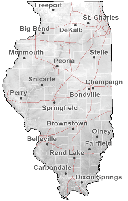
Station Metadata
Stations:
BellevilleBig Bend
Bondville
Brownstown
Champaign
Carbondale
DeKalb
Dixon Springs
Fairfield
Freeport
Monmouth
Olney
Peoria
Perry
Snicarte
Springfield
Stelle
St. Charles
Rend Lake
 The Illinois Climate Network (ICN) consists of 19 automated weather stations in Illinois operated by the Illinois State Water Survey. Although every attempt was made to locate the stations in open, unobstructed areas, the actual locations are compromises of the ideal site standards. Therefore, the obstructions around the weather towers have been identified and the distance to each major obstruction has been measured. Photos were taken from eight different directions. Topographic maps and satellite photos of the sites are included as well.
None of the obstructions affect solar radiation measurements. However, changes in the vegetation and terrain surrounding the weather stations do affect wind speed observations. Azimuth sector roughness lengths have been computed from the measured mean hourly wind speeds and wind speed standard deviations at each site for the four seasons of the year.
