ENIGMMA: The Evolving Network of Illinois Groundwater Monitoring and Modeling Analyses
The groundwater flow models developed at the Illinois State Water Survey are often at widely varying scales, with local models linked to the regional models by shared, transient boundary conditions. Due to the ever expanding number of interdependent models, there is a need to streamline the process of entering pumping data (model inputs) and water levels (model calibration targets) into the models to allow for timely analyses of current groundwater conditions throughout the state. The need for more efficient processes is exacerbated by continued efforts of the Illinois Water Inventory Program staff to collect water use data from facilities via an online reporting tool. Similarly, telemetry stations deployed throughout the state allow for instantaneous analysis of water level data, either via a hydrograph or head-specified models.
Water Use
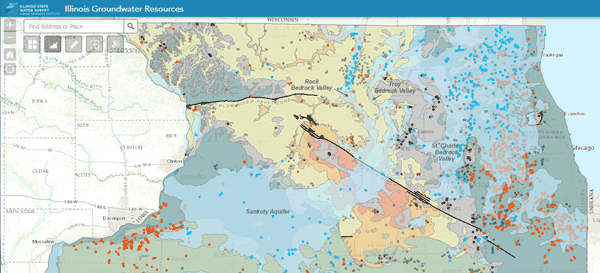
ENIGMMA provides the framework to automate flagging of outliers when water use is reported via the online tool, to communicate IWIP data via web maps, and to develop an estimated water usage dataset for use in groundwater flow models that accounts for gaps in reporting.

Python Coding

Real-Time Hydrographs
ISWS is moving toward displaying groundwater levels (depth to water, head) in real-time. The above trial plot demonstrates this capability at the ISWS/USGS monitoring well Champaign 08-09A. This hydrograph is updated every 30 minutes as a live draw from web services hosted by the USGS (https://nwis.waterdata.usgs.gov/nwis/uv?site_no=401654088212001).
Groundwater Flow Models
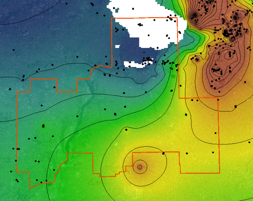
ISWS has a long history of developing groundwater flow models throughout Illinois. ENIGMMA provides the mechanisms to link these models to IWIP water use data and real-time water level collection data. ENIGMMA will also be expanded to include linkages between regional and local scale models, providing the opportunity to foster a seamless model simulation that accounts for both regional stresses and local influences on the flow regime.
