Lake Bathymetry and Sedimentation
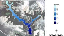
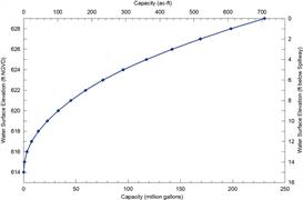
The capacity of a reservoir is usually the core element in the determination of water supply yield. Analysis by the Illinois State Water Survey has shown that the estimated capacities of smaller reservoirs can be in error by over 30 percent without the use of depth surveys; and, for many smaller reservoirs, the capacity is likely to be overestimated. In measuring the reservoir’s depth using a detailed sedimentation or bathymetric survey, its capacity can be estimated to within 10 percent of its true value. Thus, reservoir surveys are important components in water supply analysis and planning where the reservoir is the sole source of water supply for the community.
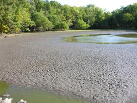
Sedimentation can lead to the loss of reservoir capacity.
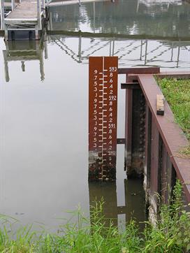
Staff gauge used to regularly monitor lake levels.
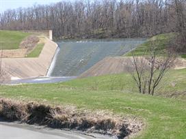
Canton Lake Spillway
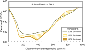
A detailed sedimentation survey will use a combination of acoustic depth sounding of the reservoir bottom surface and physical (ground truth) depth measurements. The thickness of the sediment deposited in a reservoir since the spillway construction can be physically measured at selected locations. Through this process, the sedimentation survey will provide not only a determination of the current capacity of the reservoir, but also an estimate of the rate of sediment deposition over time to be used in projecting future changes in reservoir capacity. The measured reservoir capacity will be included in a water budget analysis to estimate the yield of the reservoir water supply during periods of severe drought.
Bathymetric surveying is done using an Odom EchoTrac DF3200 MKII Precision Survey Echo Sounder. For those area of insufficient depth to allow use of the echo sounder a graduated sounding pole, equipped with a sediment “boot” to allow greater sensitivity to soft surficial sediments, is used. Differentially corrected positioning is determined using a Trimble Ag132 Global Positioning System (GPS).
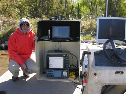
Odom Echo sounder and GPS system for collection of depth measurements
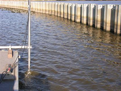
Pole mounted transducer for the Odom Echo sounder.
Lake Study Projects
Sedimentation Survey of Waverly City Reservoir
Safe Yield Analysis and Bathymetric Survey of Lake Taylorville
Bathymetric Survey and Safe Yield Analysis of Lakes Jacksonville and Mauvaise Terre
Bathymetric Survey of Wolf Lake
Contact
Kip Stevenson, 217-300-3476
