Lower Illinois Region: Water Supply Planning
The 2023 Water Supply Planning Report for Lower Illinois is Available Here
In the Lower Illinois Water Supply Planning Region (WSPR), an area encompassing Calhoun, Greene, Jersey, Morgan, Macoupin, Pike, and Scott counties, rivers and groundwater shape the landscape and are impactful to communities. The upcoming report on this region summarizes the results of an investigation into the Lower Illinois WSPR conducted by the Illinois State Water Survey (ISWS). These efforts and other investigations of water supply throughout the state are funded by the Illinois Department of Natural Resources Office of Water Resources (IDNR-OWR). The soon to be released report and accompanying story maps are meant as a launching point for Lower Illinois stakeholders to use in discussions of water supply.
The major hydrologic feature in the region is the confluence of the Illinois and Mississippi Rivers near Grafton in Calhoun County. Surface water from reservoirs, the Illinois and Mississippi Rivers, and groundwater from aquifers along these rivers are the major water supply sources for people, communities, ecosystems, and industry in the Lower Illinois WSPR.
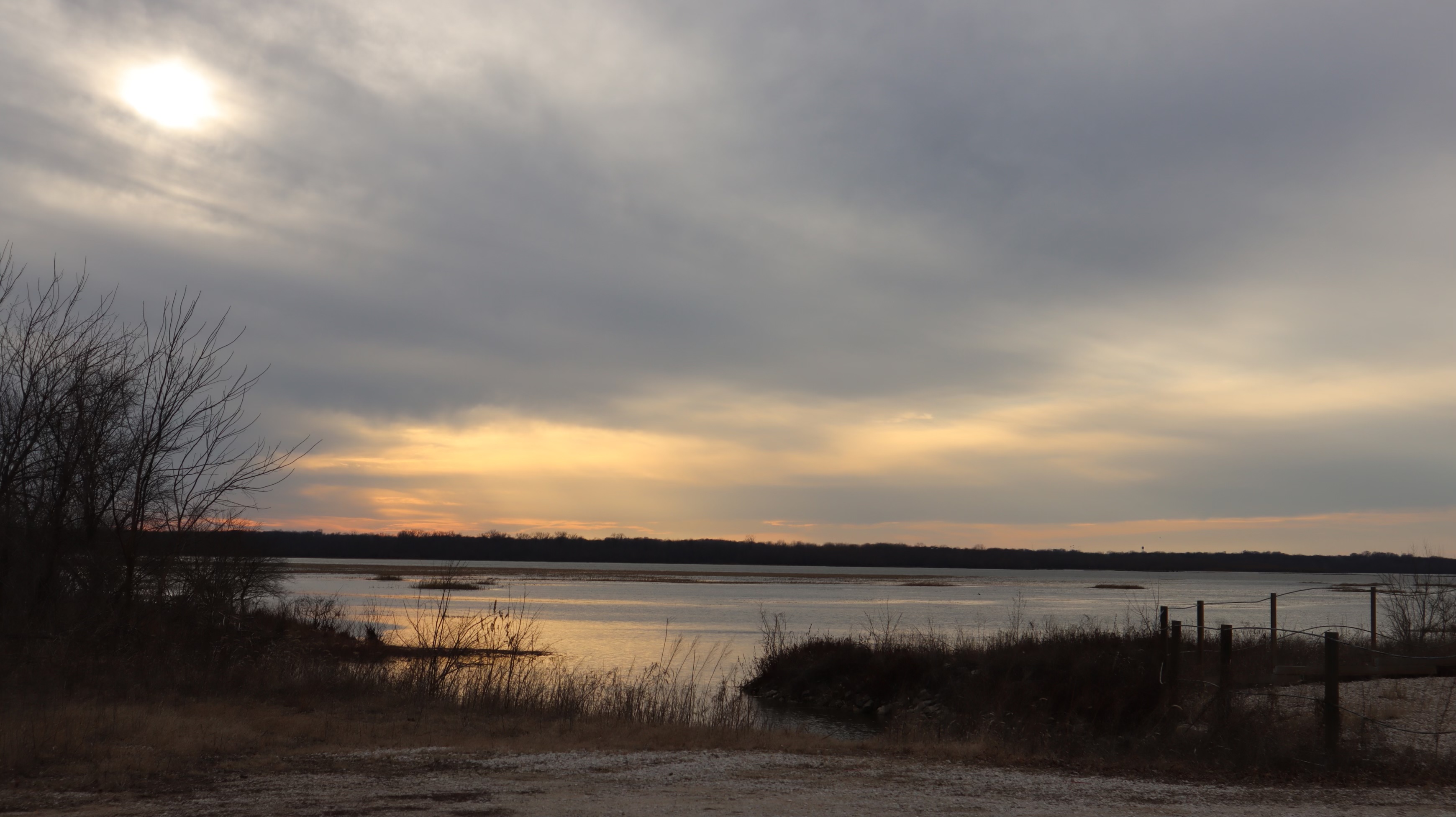
Two Rivers National Wildlife Refuge. Photo credit Cecilia Cullen, 2023
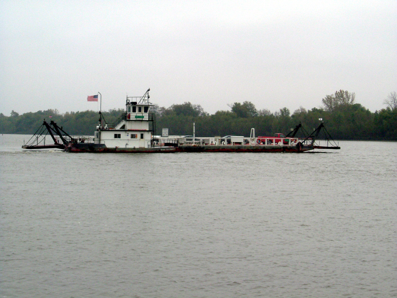 Ferry on the Illinois River. photo credit: Walt Kelly, 2002
Story Maps
Surface Water Studies and Streamflow Characteristics
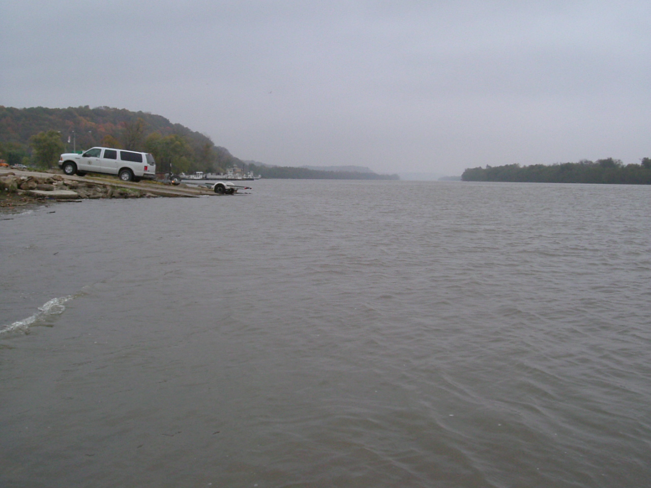
The Illinois River. Photo credit: Walt Kelly, 2002