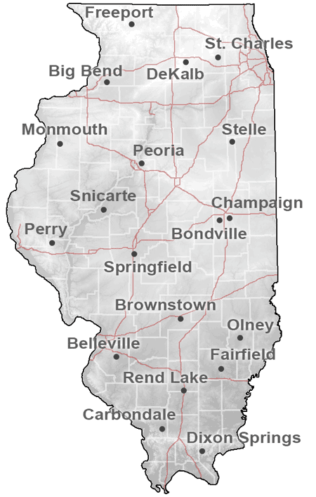
ICN Station Map and Information
Here is a map of the 19 Illinois Climate Network Stations. Click on the map or
the link below it to return to the Illinois Climate Network Data page.
| |
| Illinois Climate Network Station Information |
|
|
| Site |
Number |
3-letter ID |
Longitude |
Latitude |
Elevation |
|
|
(deg) |
(deg) |
(m) |
| Bondville |
1 |
BVL |
88.37 W |
40.05 N |
213 |
| Dixon Springs |
2 |
DXS |
88.67 W |
37.45 N |
165 |
| Brownstown |
3 |
BRW |
88.95 W |
38.95 N |
177 |
| Perry |
4 |
ORR |
90.83 W |
39.80 N |
206 |
| DeKalb |
5 |
DEK |
88.85 W |
41.85 N |
265 |
| Monmouth |
6 |
MON |
90.73 W |
40.92 N |
229 |
| Kilbourne |
7 |
SFM |
90.08 W |
40.17 N |
152 |
| Peoria |
8 |
ICC |
89.52 W |
40.70 N |
207 |
| Springfield |
9 |
LLC |
89.62 W |
39.68 N |
177 |
| Belleville |
10 |
FRM |
89.88 W |
38.52 N |
133 |
| Carbondale |
11 |
SIU |
89.23 W |
37.70 N |
137 |
| Olney |
12 |
OLN |
88.10 W |
38.73 N |
134 |
| Freeport |
13 |
FRE |
89.67 W |
42.28 N |
265 |
| Rend Lake (Ina) |
14 |
RND |
88.92 W |
38.13 N |
130 |
| Stelle |
15 |
STE |
88.17 W |
40.95 N |
213 |
| Wildlife Prairie Park |
18 |
WFP |
89.75 W |
40.73 N |
186 |
| St. Charles |
20 |
STC |
88.37 W |
41.90 N |
226 |
| Fairfield |
34 |
FAI |
88.38 W |
38.38 N |
136 |
| Champaign |
81 |
CMI |
88.23 W |
40.08 N |
219 |
|
|
ICN Data
|
|