Highland
System Information
System Description
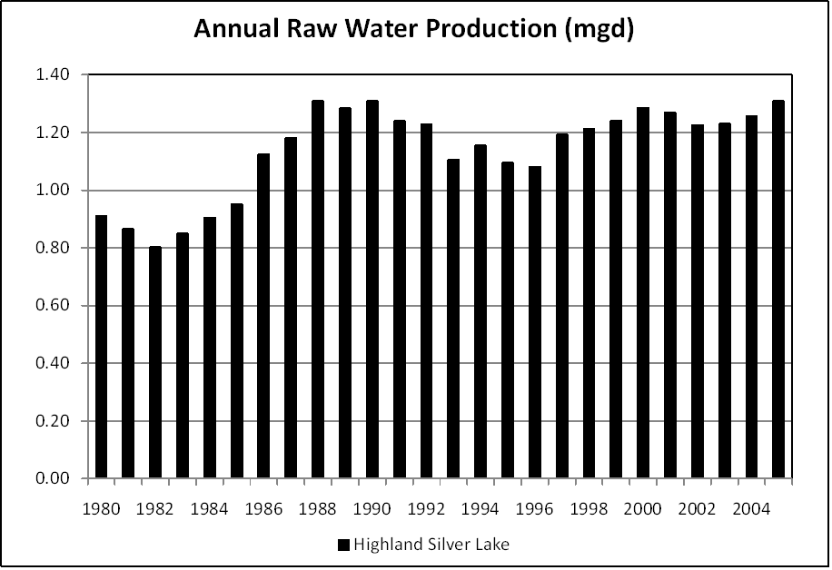
Water is pumped from an intake on Highland Silver Lake via a wet well to a 2.2 mgd treatment plant. This system sometimes is listed as a recipient of purchased water from East St. Louis (Illinois-American) only because the village of St. Jacob receives part of its water from Bond-Madison WD, which, in turn, receives its water from East St. Louis.
Satellite Communities and Water Districts
Grantfork, Pierron, and St. Jacob (partially)
Population Served: |
12808 |
County: |
Madison |
Watersheds: |
Kaskaskia |
Water Source
| Name |
Type |
Stream |
DA (sq mi) |
SA (ac) |
Capacity |
Year Est. |
Est. 2010 Cap. (ac-ft) |
| Highland Silver Lake |
IR |
E Fk Silver Cr |
47 |
600 |
5832 |
1999 |
5583.4 |
1989 Study: |
50-year drought yield sufficient at present level of water use. |
USGS Gages: |
No data available |
Developments since 1989:
Highland is evaluating possible sedimentation reduction projects. This includes a coffer dam on the north side of the lake and fencing off a grazing ground just north of Interstate 70, which bisects the lake. Algae caused minor taste and odor problems during the 2005 drought.
Notes and Terminology
Vulnerability Report
Choose another Community

